|
|
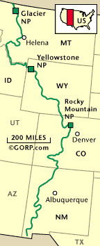
The Continental Divide Trail is a 3000 mile footpath that runs along the Rocky Mountain range from Mexico to Canada.
The trail's northern terminus is at the U.S.- Canadian border in Glacier National Park. The southern terminus is at the U.S.-
Mexican border near Antelope Wells, New Mexico. The Continental Divide Trail (or CDT as it is often called) crosses 5 states,
25 national forests, 3 national parks, 3 Indian reservations, and many Bureau of Land Management and wilderness areas. It
was officially designated by Congress as a National Scenic Trail in 1978, but currently is only 70% completed. Large segments
of the CDT have yet to be planned, designated, or mapped (let alone constructed, marked or signed.). The best source of information
about the trail is The Continental Divide Trail Society which was founded in 1978 by Jim Wolf. In 1995, a new organization
called the Continental Divide Trail Alliance was formed to aid the efforts of the Forest Service. The group's mission is to
unite the various CDT stakeholders and land management agencies to support the Continental Divide Trail.
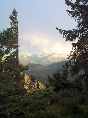
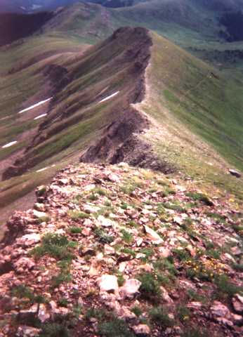
Now you see why we hike?
Looking back (south) on the trail from Wolf Creek Pass in CO
|